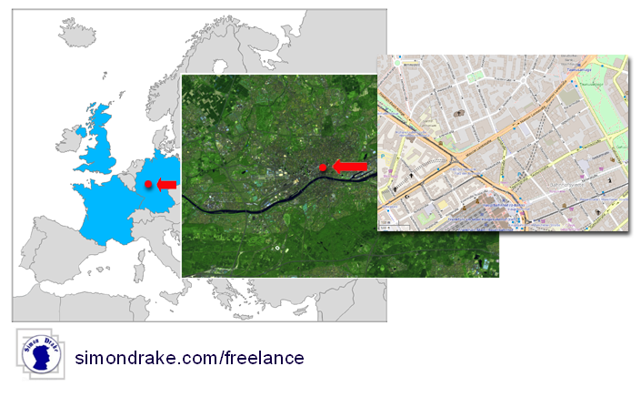
Maps are relatively easy to create, stunning graphical maps are somewhere harder, and there are now multiple mapping tools available.
Earth Observation, like recent satellite photos are freely available or relatively cheap.
Big Data (e.g. multiple locations) can be overlaid on Maps and Earth Observation images to create stunning maps.